Geological Mapping · mapping-4-6
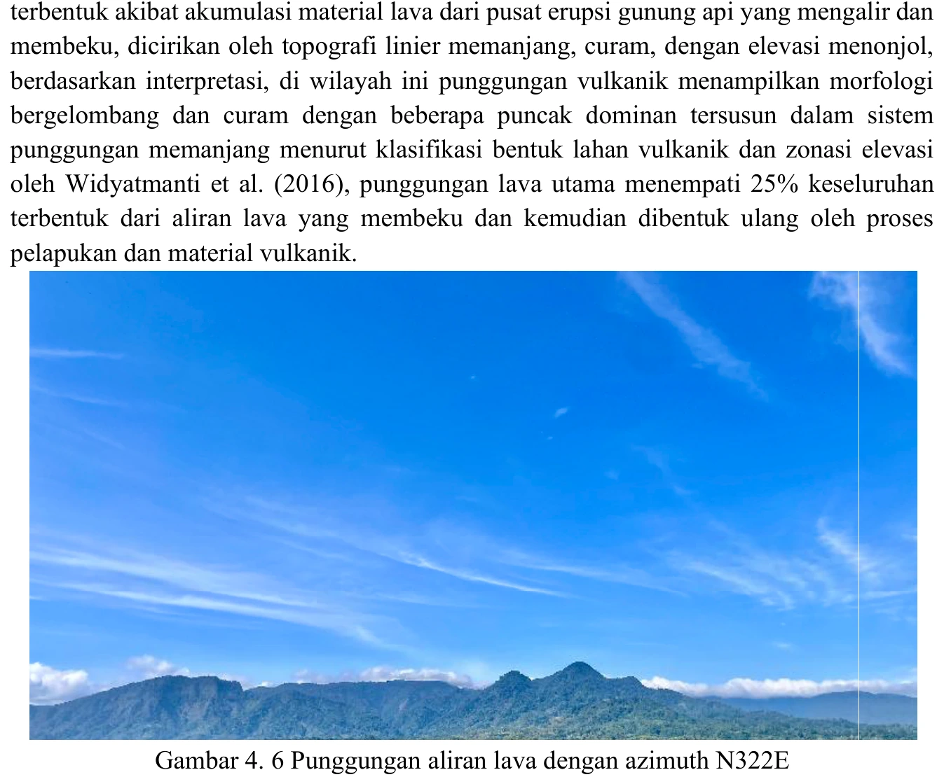
Ridge interpreted as lava-controlled landform
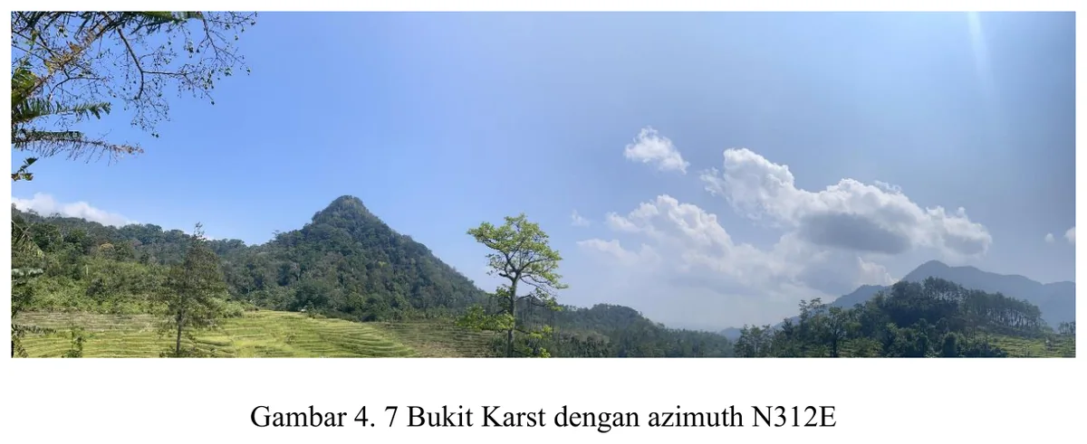
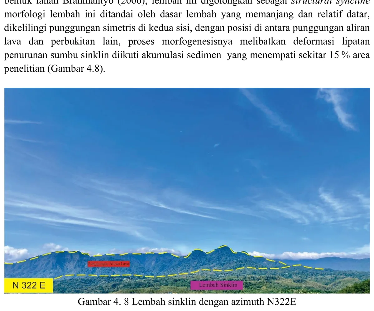
The elongated ridge is consistent with a resistant volcanic or volcaniclastic substrate, but morphology cannot uniquely identify a lava-controlled landform.
SOURCE-LED TECHNICAL READING
Geological interpretation and evidential boundary
The elongated ridge is consistent with a resistant volcanic or volcaniclastic substrate, but morphology cannot uniquely identify a lava-controlled landform. Confirmation requires continuous mapping of Kumbang-related lithology, clast or phenocryst petrography, contact relationships, weathering style and structural attitude along the ridge, together with rejection of an alternative in which a competent sedimentary bed forms the same positive relief. Relief inversion is also possible if formerly low volcanic fill became erosionally resistant. The image is therefore a strong targeting observation: it predicts specific rock types and boundary geometries that should recur along strike. Its interpretation should remain conditional until those predictions are satisfied at multiple independent stations.
- Source
- Private mapping source vault · geological evidence record
- Location in source
- PDF page 61
- Image quality
- Standard
- Record ID
- mapping-4-6