Geological Mapping · mapping-4-7
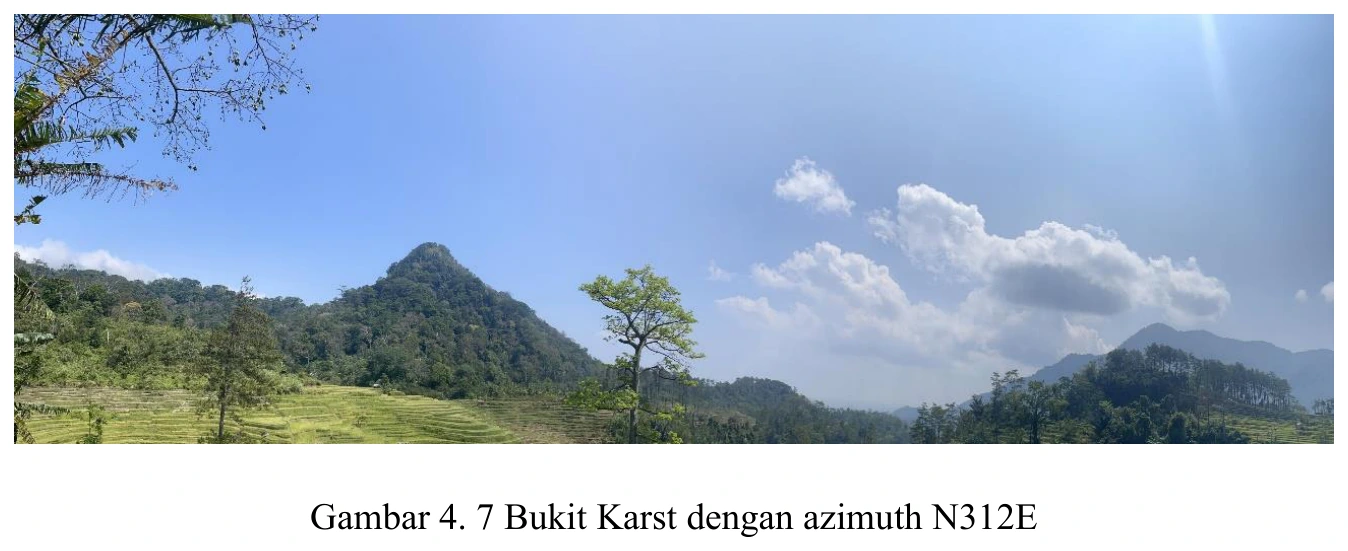
Karst hill
The steep-sided residual hill is morphologically compatible with karst developed in carbonate rock, especially when considered with the mapped limestone and cave photographs, yet conical form alone is not sufficient.
SOURCE-LED TECHNICAL READING
Geological interpretation and evidential boundary
The steep-sided residual hill is morphologically compatible with karst developed in carbonate rock, especially when considered with the mapped limestone and cave photographs, yet conical form alone is not sufficient. A robust karst diagnosis should combine carbonate confirmation, closed depressions, sinking or losing streams, caves, solution grooves, springs and drainage discontinuity, while considering resistant non-carbonate hills as a competing explanation. The hill’s asymmetry and basal break in slope may also encode bedding dip, joint orientation or differential cover thickness. This plate is consequently most persuasive as part of a multi-scale karst system—from limestone microfacies through fracture-guided conduits to landscape-scale residual relief—rather than as a standalone geomorphic label.
- Source
- Private mapping source vault · geological evidence record
- Location in source
- PDF page 62
- Image quality
- Source scan
- Record ID
- mapping-4-7