internship-4-1
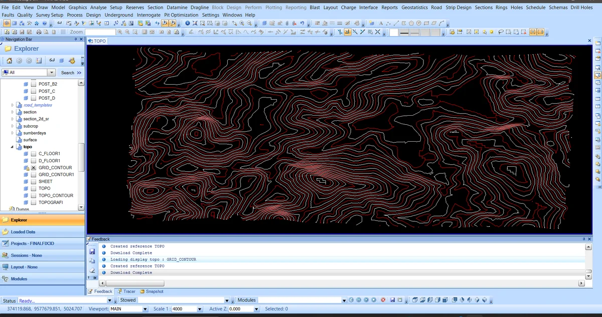
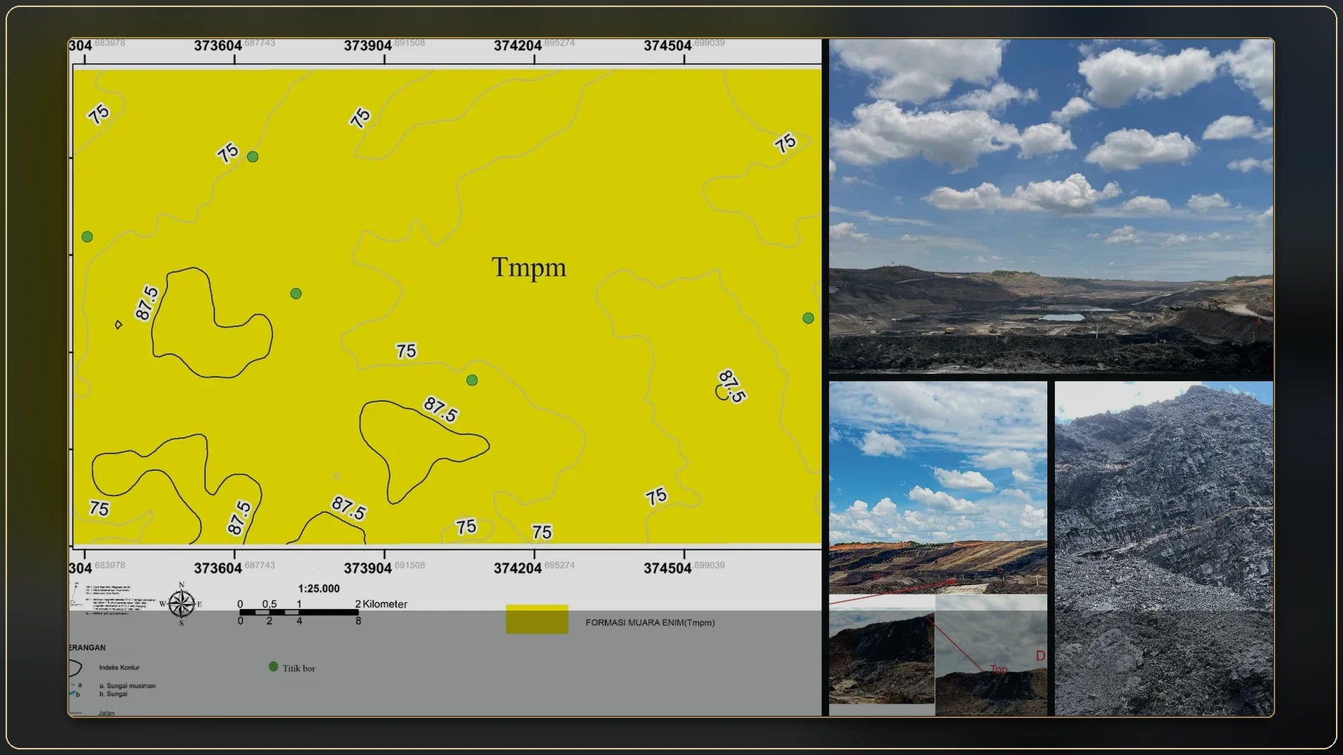
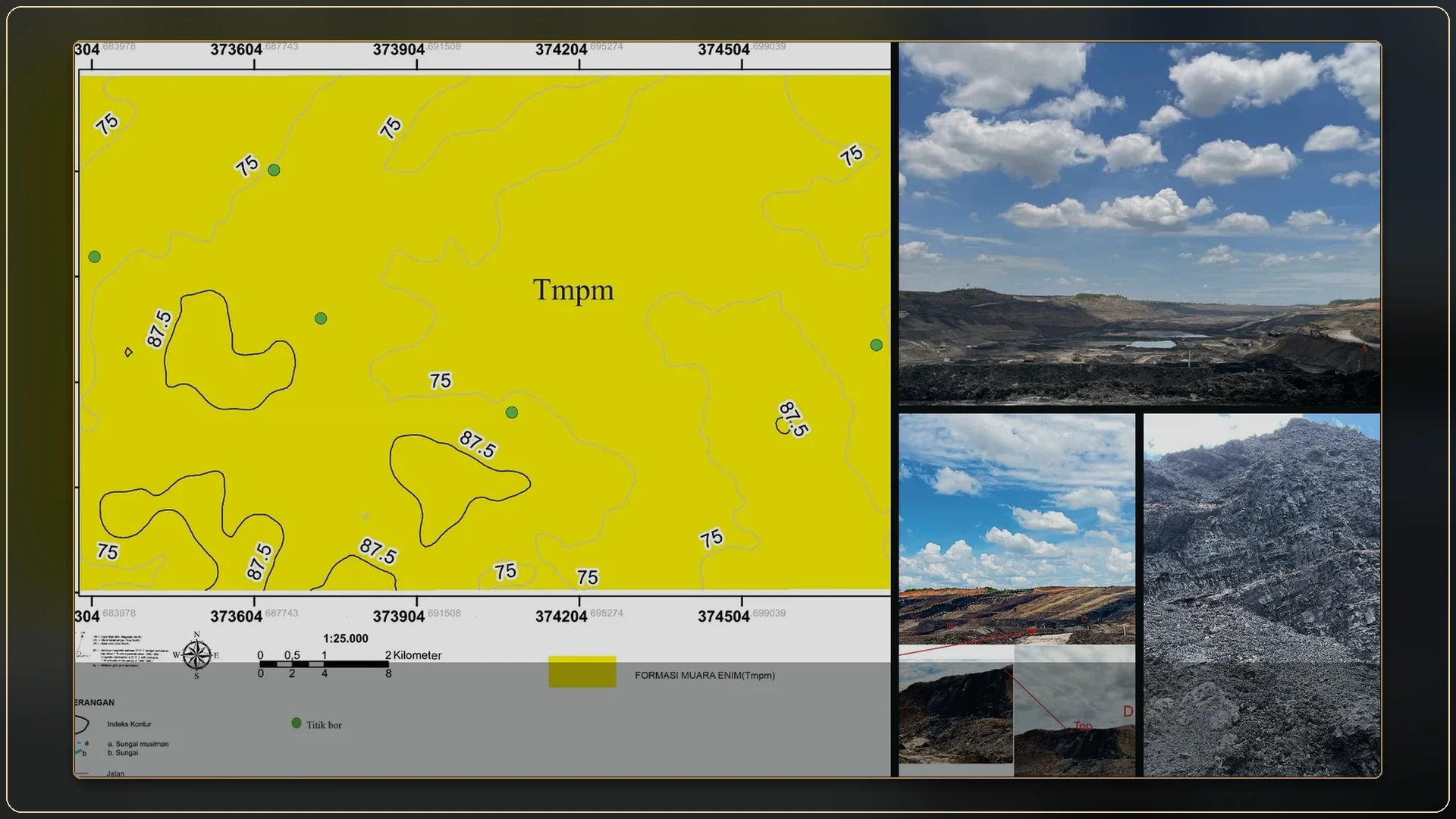
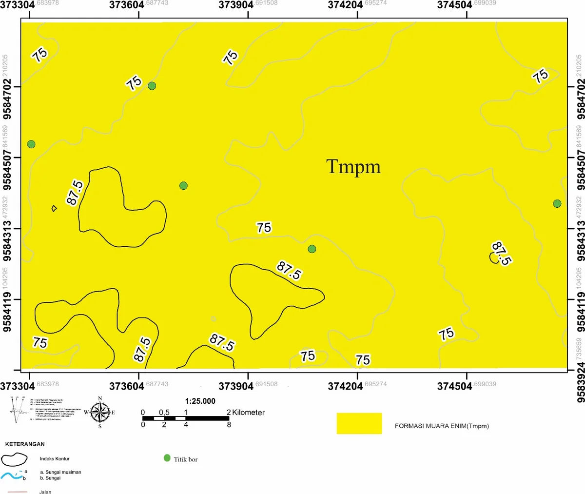
Borehole-location map
The borehole map is the spatial control for every internship correlation that follows. Collar distribution, coordinate reference system, elevation datum and the distinction between mapped seam traces and subsurface picks determine where continuity is observed and where it is interpolated.