Pit N Thesis · thesis-4-41
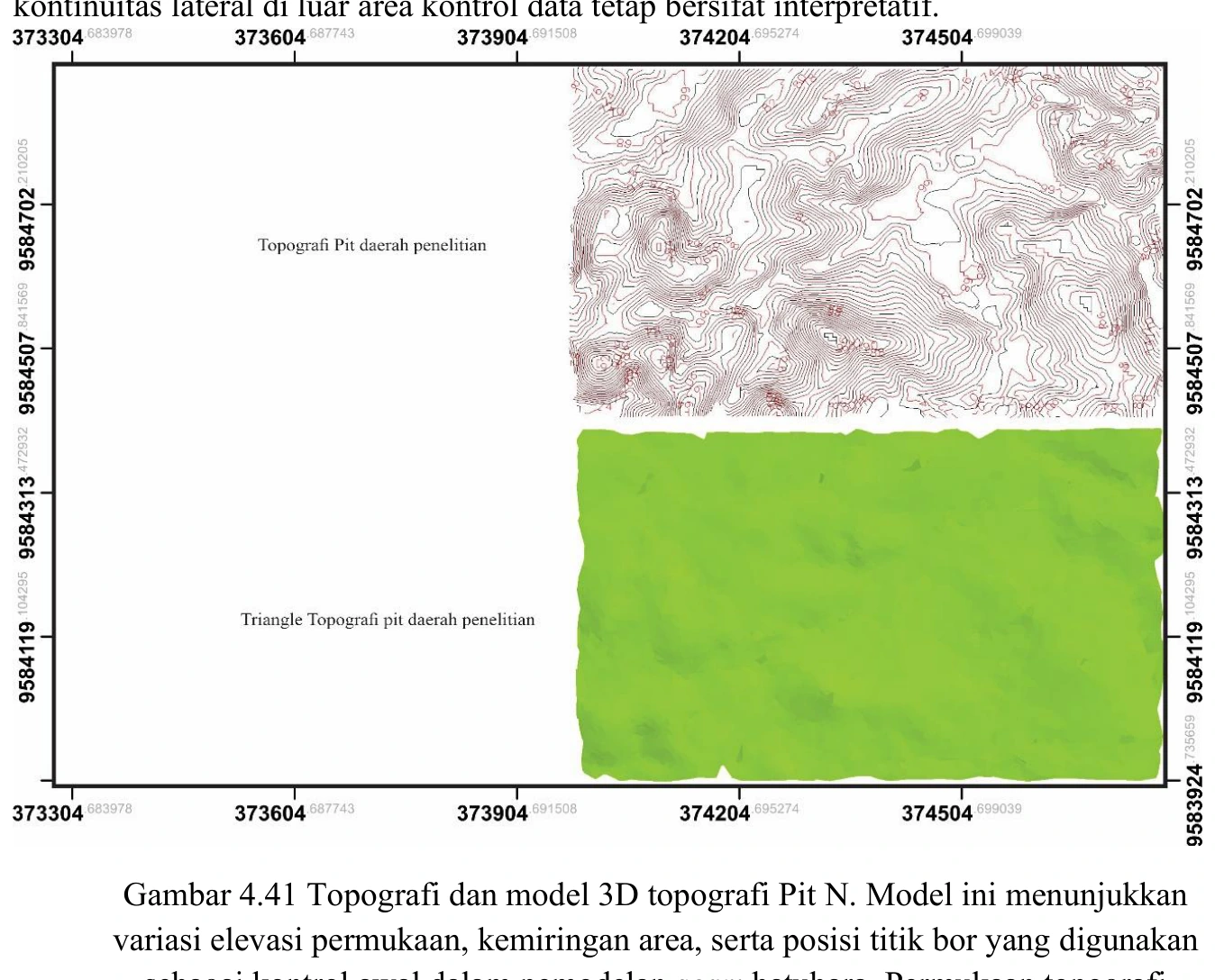
Pit N topography and three-dimensional topographic model
The topographic model spans source-reported elevations of roughly 69–99 m and carries the borehole collars used to construct the seam surfaces. Its job is geometric control: collars must sit on the correct surface, elevations must share one datum and no seam should cross above terrain.
SOURCE-LED TECHNICAL READING
Geological interpretation and evidential boundary
The topographic model spans source-reported elevations of roughly 69–99 m and carries the borehole collars used to construct the seam surfaces. Its job is geometric control: collars must sit on the correct surface, elevations must share one datum and no seam should cross above terrain. Interpolation between contours and collars creates a smooth surface, but smoothness is mathematical, not geological. Bench modification, sparse control and gridding choices should be regarded as sources of uncertainty wherever the model appears more detailed than the inputs.
- Source
- Private thesis source vault · Chapter IV record
- Location in source
- PDF page 176
- Image quality
- Source scan
- Record ID
- thesis-4-41