GEOVIA Surpac · 13 · Geological modelling
Spatial continuity inspection
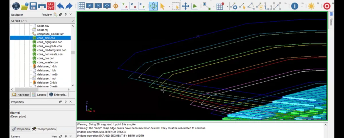
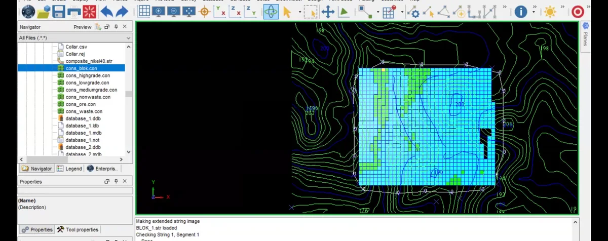
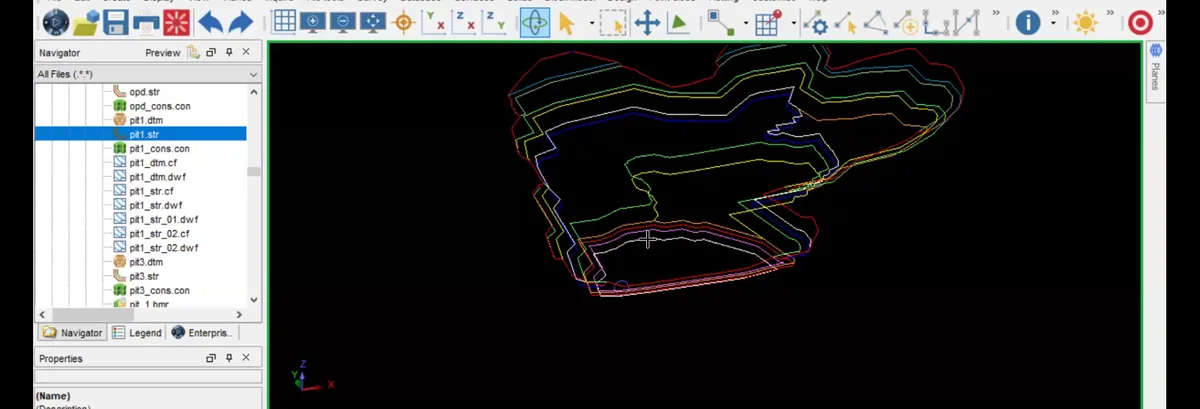
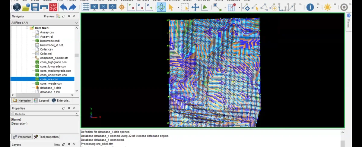
Spatial continuity inspection is documented in GEOVIA Surpac at the 13 · geological modelling stage. Spatial continuity inspection is documented in GEOVIA Surpac at the 13 · geological modelling stage.
SOURCE-LED TECHNICAL READING
Geological interpretation and evidential boundary
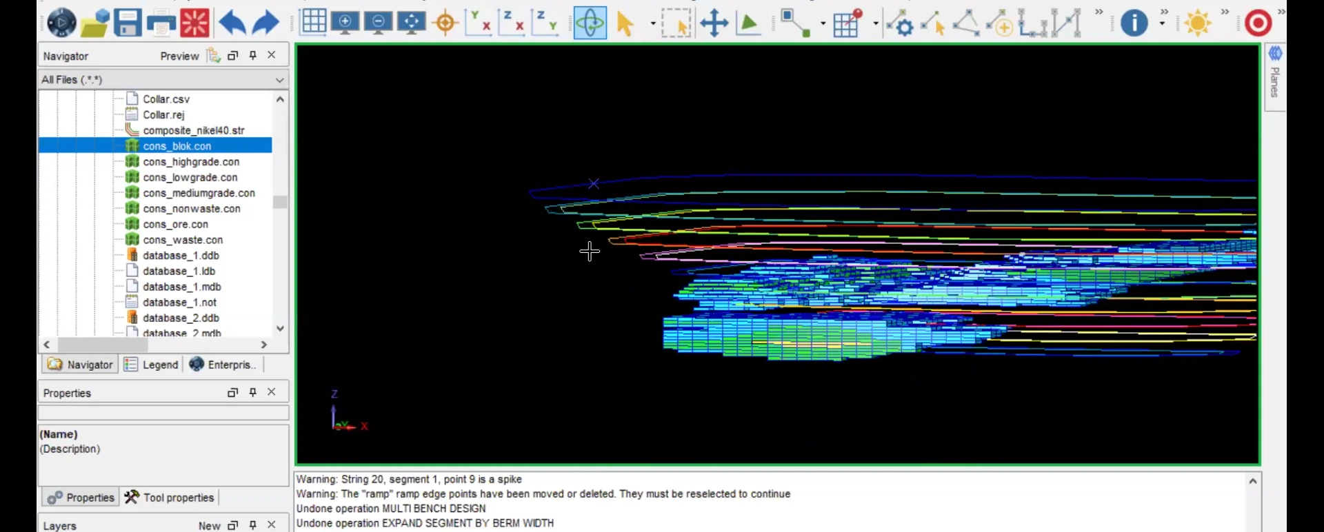
Spatial continuity inspection is documented in GEOVIA Surpac at the 13 · geological modelling stage. Spatial continuity inspection is documented in GEOVIA Surpac at the 13 · geological modelling stage. Spatial continuity inspection is documented in GEOVIA Surpac at the 13 · geological modelling stage. This is a quality-control step used to identify geometry that requires revision before the result is presented or quantified.
- Source
- Private software-workflow archive · controlled source record
- Location in source
- Source-linked record
- Image quality
- HD
- Record ID
- surpac-221811