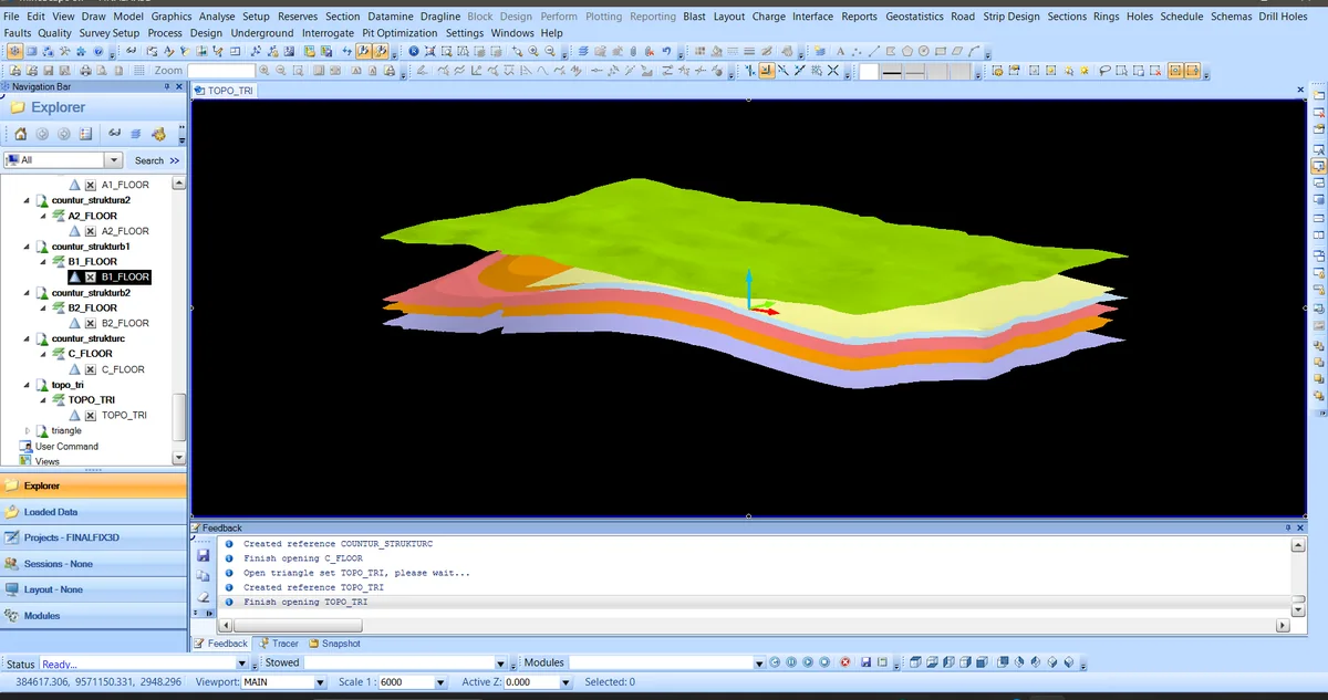
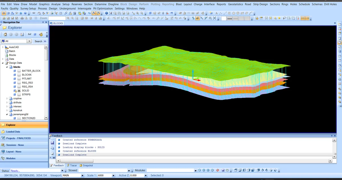
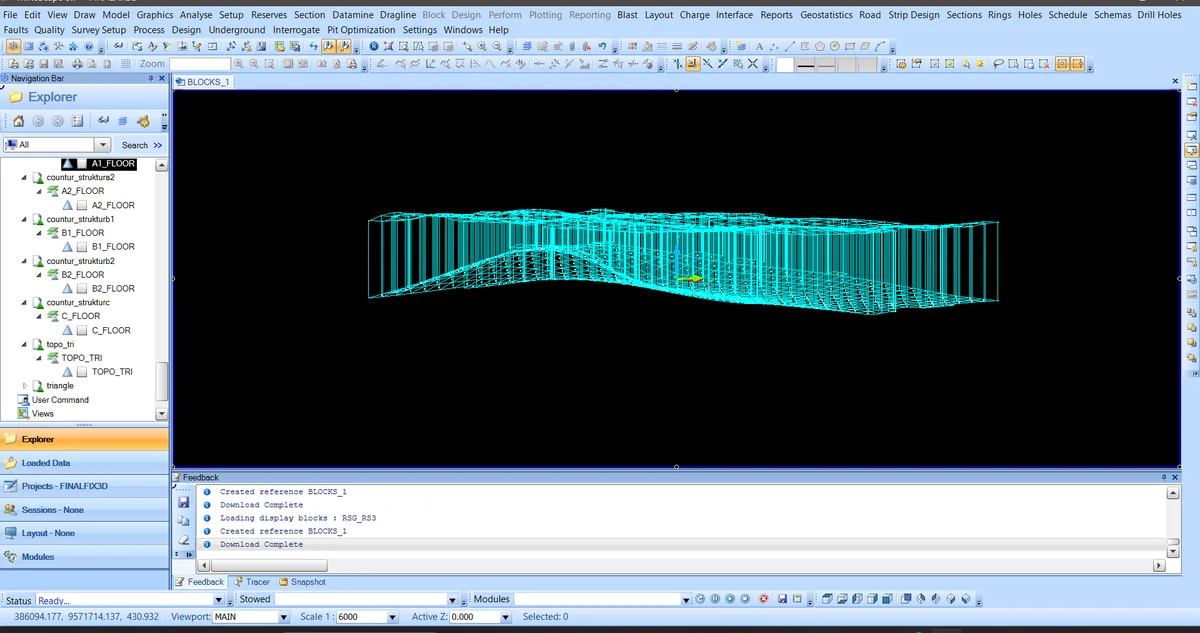
MineScape · 01 · Topographic control
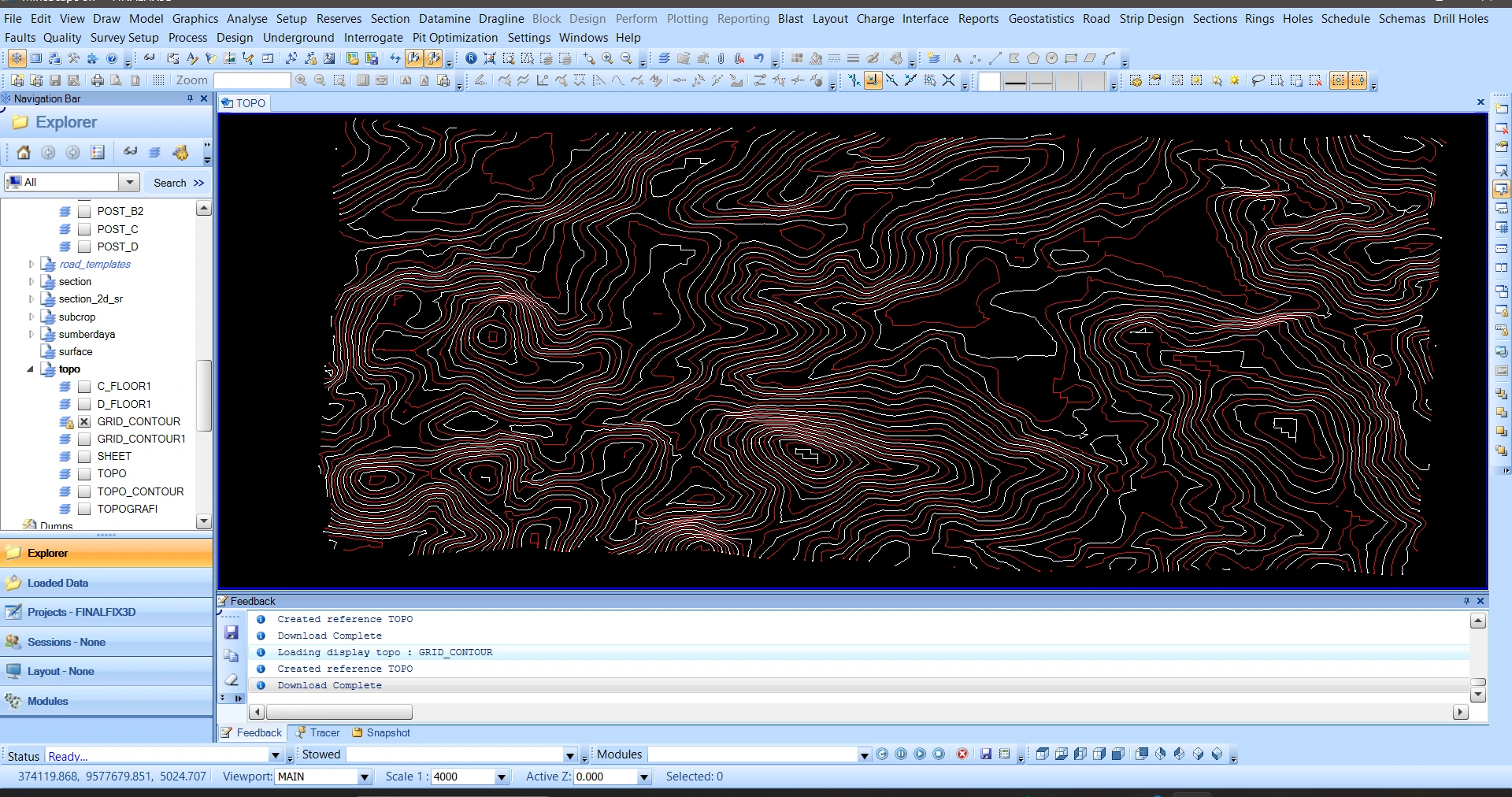
Topographic control for the geological model
Topographic control for the geological model is documented in MineScape at the 01 · topographic control stage. Topographic control for the geological model is documented in MineScape at the 01 · topographic control stage.
SOURCE-LED TECHNICAL READING
Geological interpretation and evidential boundary
Topographic control for the geological model is documented in MineScape at the 01 · topographic control stage. Topographic control for the geological model is documented in MineScape at the 01 · topographic control stage. Topographic control for the geological model is documented in MineScape at the 01 · topographic control stage. Contour data are checked before topographic triangulation and seam-surface integration. The image documents one stage of the geological modelling sequence; interpretation remains tied to the visible surfaces, cells and spatial domains.
- Source
- Private software-workflow archive · controlled source record
- Location in source
- Source-linked record
- Image quality
- HD
- Record ID
- minescape-092702