Micromine Origin · 08 · Geological modelling
Topographic integration
Topographic integration is documented in Micromine Origin at the 08 · geological modelling stage. Topographic integration is documented in Micromine Origin at the 08 · geological modelling stage.
SOURCE-LED TECHNICAL READING
Geological interpretation and evidential boundary
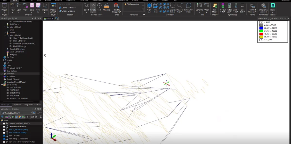
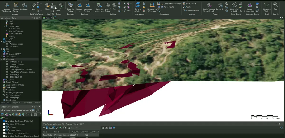
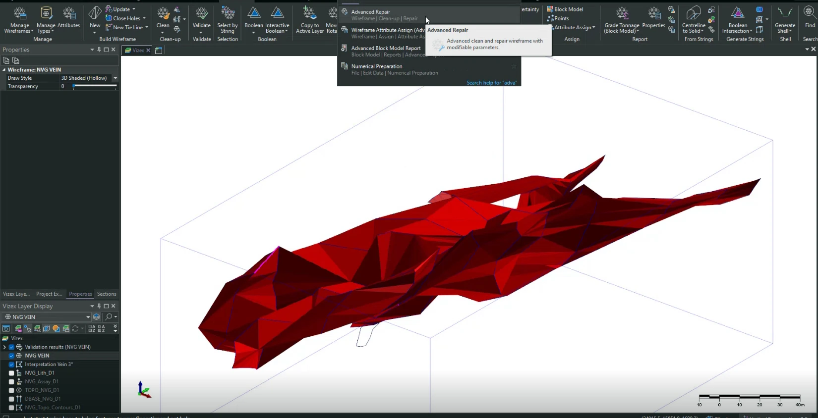
Topographic integration is documented in Micromine Origin at the 08 · geological modelling stage. Topographic integration is documented in Micromine Origin at the 08 · geological modelling stage. Topographic integration is documented in Micromine Origin at the 08 · geological modelling stage. Topographic integration constrains the upper model boundary and prevents interpreted domains from extending unrealistically above terrain.
- Source
- Private software-workflow archive · controlled source record
- Location in source
- Source-linked record
- Image quality
- Standard
- Record ID
- micromine-093706